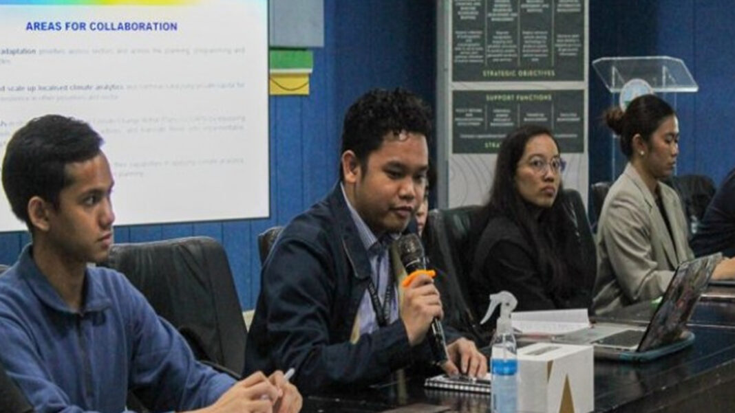
The Climate Change Commission (CCC) and the National Mapping and Resource Information Authority (NAMRIA) are strengthening inter-agency collaboration to advance data-driven and science-based climate adaptation planning nationwide.
In a recent meeting held at NAMRIA headquarters, both agencies discussed how accurate mapping and geospatial data can effectively help the implementation of the National Adaptation Plan (NAP) 2023–2050. NAMRIA presented its mandates and highlighted the Geoportal PH, the agency’s national platform that provides accessible and validated maps and geographic information.
The CCC said the partnership with NAMRIA is essential to ensure the best available, accurate data guide policies and programs.
“We want to inform not with fear, but with facts. When we use science and evidence, we enable Filipinos to understand risks and act with confidence,” CCC Vice Chairperson and Executive Director Robert E.A Borje said in a news release on Monday.
“With NAMRIA’s technical expertise and accurate data, we can better support adaptation actions, especially in the 18 most vulnerable provinces identified in the NAP.”
Both agencies identified several areas for collaboration, including mainstreaming climate adaptation in planning processes, scaling up localized climate analytics, and equipping LGUs with tools to assess risks and prioritize actions, helping them translate these ideas into fundable adaptation projects.
The partnerships of both agencies are also expanded to collaborating with the academic institutions to build capacity in climate and spatial literacy.
NAMRIA Deputy Administrator Efren Carandang underscored the importance of consistent and validated data in climate planning.
“Kailangan natin ay (What we need is) measured data and most importantly validated,” he said. “Minsan, hindi tugma ang data ng mga ahensya at ng LGUs, kaya kailangan nating upuan ito kasama ng mga resource mapping analysts (Sometimes, the data of the agencies and local government units do not match, so we need to address this together with resource mapping analysts).”
Carandang also shared that NAMRIA is updating the country’s land and forest cover data for release in 2025, and will designate focal points to strengthen coordination with the CCC.
As part of the engagement, the CCC delegation had a learning site visit in NAMRIA’s facilities, viewing maps and historical materials that trace the country’s development through its geographic records.
The team also paid a courtesy call on NAMRIA Administrator Dr. Peter Tiangco, who expressed his full support for the initiative.
“With this partnership, hopefully we can push further, bridging data and action for a more climate-resilient Philippines,” Tiangco said.
Through this strengthened collaboration, the CCC and NAMRIA aim to advance the country’s climate agenda by integrating accurate, science-based data into planning and decision-making to help reduce loss and damage while promoting sustainable and resilient development. (PNA)


